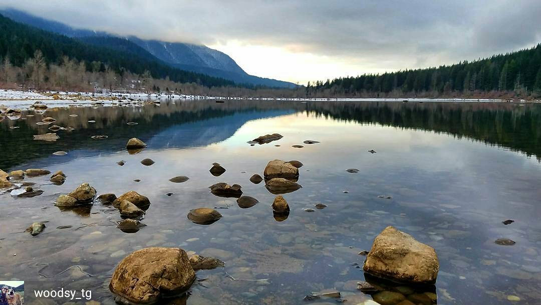
2017 Rattlesnake Lake Navigation Race

3 & 6 Hour Nav Race
Saturday, April 15, 2017
Checkpoints are marked on a topographic map; how many can you find before time runs out? Whoever collects the most points and finishes in the fastest time wins! Navigation racing is old school: no GPS gadgets, just a paper map, your wits, teamwork, and a ton of fun!
It has been several years since our last visit to this area, at the eastern foot of Rattlesnake Ridge. We’re planning this event in a mass-start, Goat format, where all competitors will do the same basic course, but with extra credit checkpoint options. We’ll have some new terrain and a new set of checkpoints for you in the forested trails, boulder-studded slopes, ridges, and valleys of this area on the northern border of the Cedar River Watershed. Participate solo or in a team of 2-5 people.
Are you new to nav racing? That’s okay! Check out the “First Time?” section to learn how it works. Be sure to show up to the free Introduction to Navigation session on event morning! We’ll provide an introduction to the map, reading contours, basic navigation, and how to use the compass to orient the map.
More details will be posted soon.
You can also connect with us by Liking us on Facebook.