Sun Lakes Navigation Race
2, 4, & 8-hour Nav Race
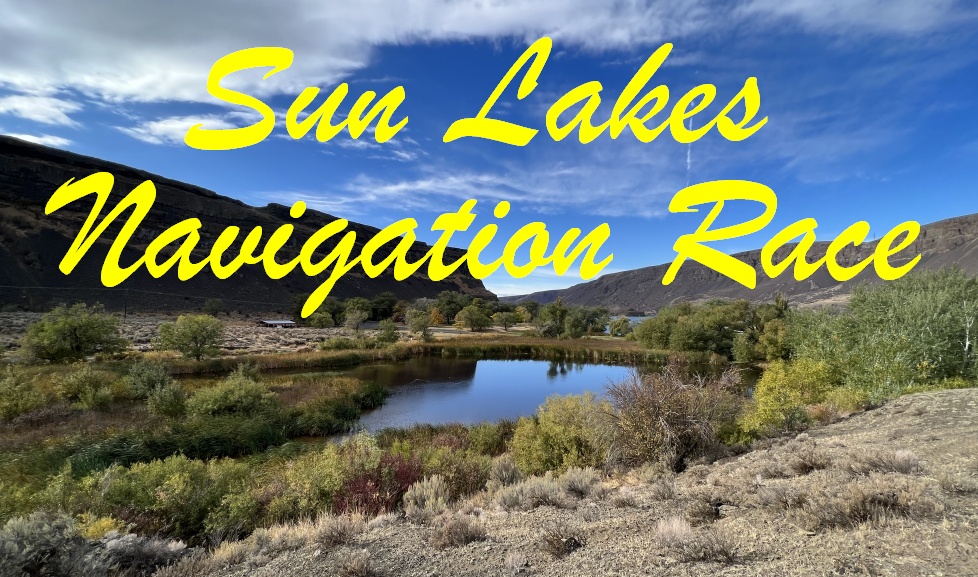
Saturday, May 4, 2024
Northwest Nav Races is hosting a navigation race at Sun Lakes-Dry Falls State Park, near Coulee City, WA! This area has channeled scablands terrain, encompassing a natural amphitheater ringed by majestic cliffs that were once an enormous waterfall. This is a beautiful flood-carved monument to the epic geology of Washington State. Massive basalt flows blanketed the state east of the mountains several million years ago, and then ice age floods carved and ripped into the basalt tens of thousands of years ago, leaving whimsical lakes, dips, caves, and canyons carved into the land. These channeled scablands are breathtaking to behold and fun to explore.
The park is a remarkable oasis on the sunny side of the Cascade Mountains with great amenities for a getaway: A neighboring resort with cabins and RV hookups, camping, miles of trails, lakes for swimming, boating, and fishing, a golf course, a store, an amphitheater, WiFi and a concession stand with snacks and fast food at the nearby Dry Falls Visitor Center and scenic overlook, and expansive lawn areas with picnic tables for relaxing and enjoying the view or a picnic by the lake.
Are you new to nav racing? That’s okay! Check out the “First Time?” section to learn how it works. Also, a great way to practice is to attend Cascade Orienteering Club‘s events. The club offers Beginner, Intermediate, and Advanced-level courses, plus free beginner instruction before you begin. Cascade’s events are a great way to get acquainted with orienteering-style maps, which use special colors and symbols to provide more detailed information than the typical USGS map. The contour-reading, compass, and other navigation skills practiced through orienteering transfer well to navigation with a USGS map. If you’d like an orientation, or a refresher, then be sure to show up to the free Introduction to Navigation session at 8:00am on event morning! We’ll provide an introduction to the map, reading contours, basic navigation, and how to use the compass to orient the map.
You can also connect with us by Liking us on Facebook.
![]()

![]()