POSTPONED – Big Tahoma Navigation Race
05/02/2020
This event is being postponed due to restrictions on gatherings that were put into effect to protect public health during the COVID-19 (coronavirus) outbreak. We expect to post further details in April on a replacement event, tentatively scheduled for October 31 – November 1 in the channeled scablands around Sprague, WA.
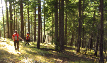
The Big Tahoma Navigation Race was to take place in Elbe Hills and Tahoma State Forests, near the town of Ashford, WA, on the southwest side of Mt. Rainier National Park. The event was to include 6-hour, 12-in-24-hour, and 24-hour competitions, and the 24-hour competition was to be the North American Rogaining Championships.
The mapped area was to include previously-used terrain in Tahoma State Forest, as well as newly-mapped terrain in Elbe Hills State Forest, with the map made from lidar data and field survey.